I just missed Iran and wanted to share some nice photos from different part of my homeland with you to enjoy. Iran's area roughly equals that of the United Kingdom, France, Spain, and Germany combined (well, almost half of Europe), or slightly less than the state of Alaska. It is one of the world's most mountainous countries, its landscape dominated by rugged mountain ranges that separate various basins or plateaux from one another. Iran's climate ranges from arid or semiarid, to subtropical along the Caspian coast and the northern forests. In less than 2 hours flight one can experience totally different weather. Photos are from Flickr.

Lahijan, Iran (North)
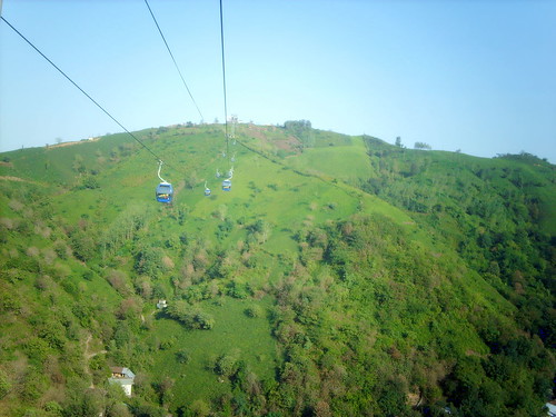
Lahijan Aerial Tram, Iran (North)
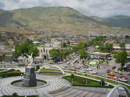
Sanandaj, Iran (West)
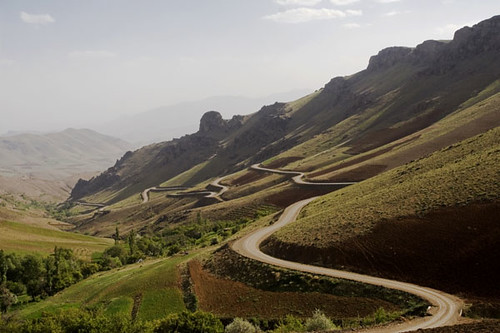
Sanandaj, Iran (West)

Ahwaz, Iran (South)

Qeshm Island, Iran (South)

Yazd, Iran (South - East)
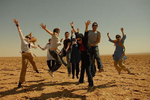
Maranjab Desert, Iran (East)
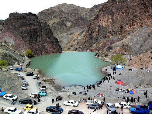
Birjand, Iran (East)
6 comments:
I am constantly amazed at how beautiful Iran is, so different to the way I imagined - why do we think its all desert? I definitely want to see it for myself some day.
First time visitor. Love your photos. They paint quite a picture. I'll be back for sure.
So big?! And such a wide variety.
Thanks for this eye-opening tour.
I can see why you miss such a land.
One does not get a real idea of the size of a country when looking at them on the map. I did not realize that Iran was about ½ the size of Europe, and when you said it, then I realized how large it is. Once my mother told me that she could get a cheap flight from Paris to Chicago if I would just come and pick her up at the Chicago airport – but I lived in San Francisco at the time, she had no idea how long it would take for me to drive to Chicago from my little flat in San Francisco!
So beautiful. I'd love to travel there some day. Thanks for the tour!
Absolutely beautiful. We see so little of it. I drove through the country many years ago.
Post a Comment